An Egyptian city and port on the Mediterranean Sea and the capital of Matrouh Governorate. It is located 240 km (150 mi) west of Alexandria and 222 km (138 mi) east of Salloum on the main highway from the Nile Delta to the Libyan border. The city can also be reached from the south via another highway that passes through the Western Desert towards Siwa Oasis and Bahariya Oasis.
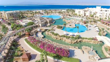
Located in the city Marsa Matrouh International Airport. The city is distinguished by its soft white sand beaches and calm waters. The Gulf is protected from the high seas by a series of rocks that form a natural breakwater, with a small opening to allow the entry of light ships. In the era of the ancient Egyptians, it was a small fishing city, and it was known during the reign of Alexander the Great as “Ammonia”, and in the era of the Ptolemies and the Byzantine Empire it was known as “Paraytonium” (Greek: Παραιτόνιον), known by the Romans as “Paraetonium” (Latin: Paraetonium), became in the era of the Romans an important port that traded and exported goods and crops to Rome. During World War II, the British built a military fortress located to the east of the city, which was known as “Fort Bagosh”.

The origin of the name is unknown, but there are several historical Egyptian figures from North Africa and Andalusia who bore the name “Matrouh”. Many Andalusians migrated to the coast of North Africa and the coast of Egypt, and places on the coast were attributed to them, such as Al-Mursi Abu Al-Abbas (from Murcia) and Al-Shatby (from Shataba).
Archeological areas
Temple of Ramses II.
Matrouh Archeology Museum
Rommel Cave Museum
The sunken city of Julius Caesar.
Cleopatra VII’s Sunken Palace.
Traces of the Ptolemaic naval arsenal located west of the modern port.
The Coptic Church, established in the early Coptic era, has several caves with inscriptions.
Rommel’s lair, a cave carved into the rock, where Rommel planned his military operations, and today it has been turned into a military museum.


Comment (0)